Coverage Maps
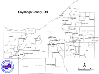
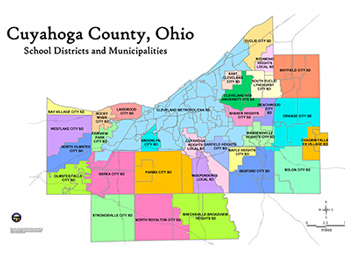
Cuyahoga County is made up of 59 different political subdivisions. When major disasters strike, CCOEM has been authorized by all political subdivisions to assist in coordination of response and recovery efforts.
How could we make it better?
Please leave a comment before submitting.
Thank you for your feedback
Your feedback means a lot to us. We use it to improve the experience of all of our users.
 An official website of the Cuyahoga County government. Here’s how you know


